

It was raining again when I left Fairbanks and since every direction looked ominous I decided to jump back on the 3 and head south again. The weather forecast said no rain today in Anchorage and rain all day in the Fairbanks area but I’ve found the forecast up here to be highly inaccurate. I didn’t get to see much on the way up the 3 and the way back down was more of the same. Low clouds were stuck to the mountainsides like glue. Very disappointing as there are impressive peaks off this highway…like Denali (formally Mt McKinley) – the highest peak in North America at 20,156 feet. Obama (rightfully) officially approved renaming it Denali in 2015. Denali is also the third most isolated peak on earth after Mount Everest and Aconcagua in Argentina. But once again, Denali was buried in the clouds somewhere off in the distance.
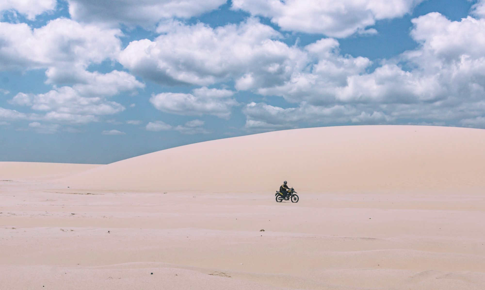
The clouds were beginning to break up a bit to the south as I passed the park entrance and touristic area. I reached Cantwell and while filling up with fuel made a game time decision to hit the Denali Highway again – hoping for better weather and visibility this time around. As I turned east it didn’t look great at all. But after riding about 10 miles I could see the clouds starting to break up even more. Then the sun actually came out! The next three hours I was in heaven enjoying this amazing landscape. Ancient glaciers had cut through the space leaving marshy grasslands, rivers, streams and lakes. The glaciers are still in existence and receading up the mountainsides off in the distance. The contrasting colors of blue, green, white and rust made for an eye pleasing experience. Since I had just ridden this stretch from the other direction I didn’t have the usual hesitant/negative thoughts I get when riding a new remote dirt track by myself. I just was able to relax and enjoy the ride and space I was in.
Alas, all good things must come to an end it seems – just as I got off the Denali to Highway 4 the clouds were closing in again. Both directions were the same so I chose south towards Valdez. After about 15 minutes of riding south I was again getting crushed with rain and high winds. As I approached the Tok Cutoff I debated heading back to Tok but decided to continue south instead. I got to the turnoff for Alaska Route 10 which hooks up with McCarthy Rd in Chitina. I want to ride out to McCarthy as it is supposed to be an amazing ride to the remote town of McCarthy and the old Kennecott Mine, which is a National Historic Landmark. But on a wet day like today, and late in the afternoon was not the time to attempt this so I continued south to Valdez. As was the case in Anchorage, there are no cheap accommodation in Valdez. I settled on a campground just north and got set-up just before it started raining again. I spent the night in my tent reading until it got dark around 11:30pm. It would rain on an off the whole night which is a pleasant sound to sleep to in a tent.
This morning it was still sprinkling a bit as I packed up so everything in my boxes are now wet too. I keep one side box for the wet stuff and the other side I try to keep dry for electronics and such. I rode back down into Valdez to see what there was to see and ended up grabbing breakfast at a deli near the docks. Valdez is actually quite a scenic town with mountain peaks surrounding the inlet – and is where the Alaska pipeline ends. I’ve now been to the start of the pipeline in Prudhoe Bay where oil is extracted from the oilfields and now the end of the line in Valdez where the oil is shipped out. Someday hopefully the whole process will become obsolete with renewable energy supplying our needs.
I’m here now at the deli using the free wifi and plan to head out to McCarthy. Probably won’t stay overnight there as it is expensive so it should be about 5 hours round trip out and then back to Highway 4. Still hoping to see a Grizzly at some point – from a safe distance!